
The Evolution of Laser Scanning
May 10, 2019
Practical laser scanning has been around for a few decades and has been used in everything from medical imaging to video game design. However, one of the most significant impacts has been in the realm of mapping and construction, revolutionizing the way businesses get things built.
If you’d like to get started with 3D laser scanning, we can help.
The beginning of laser scanning
It began in the 1980’s with LiDAR (Light Detection and Ranging), a remote sensing method that uses light in the form of a pulsed laser to measure variable distances to the Earth. These ranges could only be captured by pointing the LiDar from an aircraft, which had to be hired and manned. It was not only expensive but a highly technical process, incredibly complicated, and time-consuming from start to finish.
Eventually, drones with cameras were introduced to the scene. These drones take hundreds of pictures while flying over an area, then a computer uses specialized software to piece together those images through photogrammetry. While this was great news for aerial mapping, modernization for structural interiors remained a missing element.
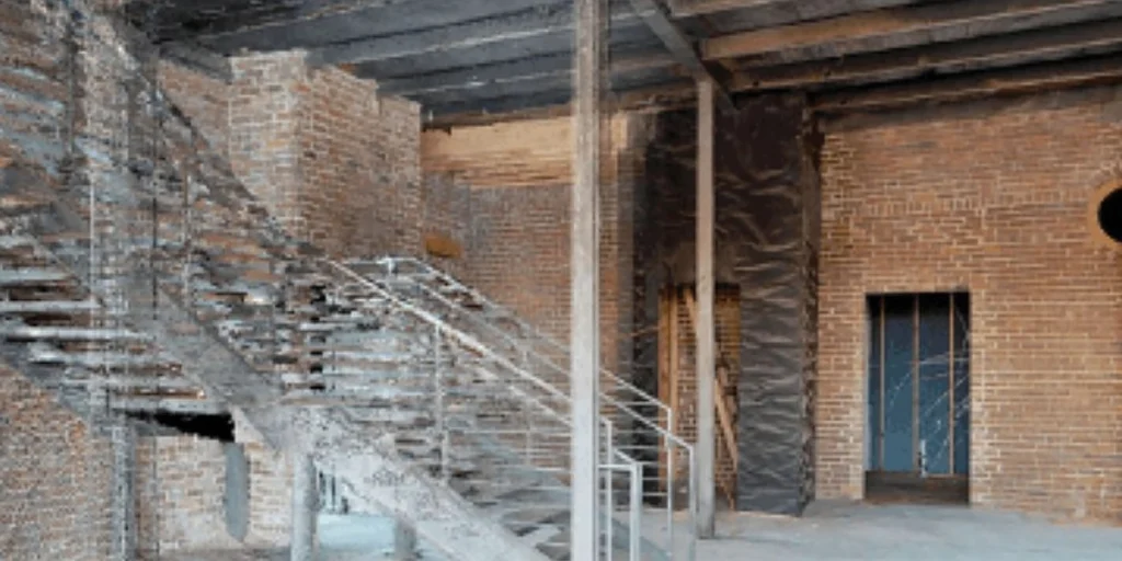
The next step in scanning evolution saw the rise of portable interior scanners, made explicitly for imaging the insides of buildings. Crews placed one in a corner, left it still for a few minutes in order to make a scan, then moved it halfway across the room and did it again, repeating the process until the entire building was complete. As laborious as this can be, sometimes it results in happy coincidences: recently, a video game studio scanned Notre Dame Cathedral to get precise rendering data for an upcoming video game, and now this very fortunate capture of the building’s interiors will help restoration crews with the rebuilding process.
Still, while portable scanners were a good step forward, this process still takes precious time and lacks the efficiency required to reduce overhead.
Laser scanning today
Today, there’s a watershed revolution in the mapping game: mobile scanners equipped with SLAM technology.
SLAM (Synchronized Localization And Mapping) technology is a newer AI-driven system that utilizes sophisticated computer vision and learning to simultaneously locate and measure every point in a building. This significant innovation in imaging can save an organization tens of thousands of dollars by fitting ultra-efficient laser scanners with location sensors and giving them the ability to move, we reduce the two biggest overheads: cost and time.
As each scan progresses, the scanner begins recognizing the space, where it’s already been, and where it still has left to go—saving yet more time and money by reducing redundant imaging and operational hours. Giving the scanners location awareness through SLAM and mobility means that they can scan entire floors and build a map simultaneously, turning a multi-step, many-tiered process into a single, efficient sweep—much like the leap in technology between digital cameras and old 35mm film.
The use of laser scanning in as-built plans
Astonishingly, even with the ever-increasing availability of laser scanning technology, as-built measurements are often still gathered the old-fashioned way: with a tape measure, a piece of paper, and hundreds of pictures that a beleaguered team tries to assemble later while attempting to correctly remember where everything was. Even if such methods have worked before, there are many drawbacks that could cause potential issues with design and construction:
- Judgment calls not supported by data (i.e. elevation issues missed while walking the length of a building)
- Uncollected information
- Missing or inaccurate dimensions
- Useless or meaningless photographs
So why, in light of all this, is anyone still doing things the old-fashioned way? Because typically, when an architect gets a project and needs as-built measurements and drawings, they reflexively send someone out to verify the building by hand, believing that laser scanning is prohibitively expensive and that the files are too big to manage on return. While this may have been true at one time, the reality now could not be more different, as operational speed and data gathering methods are light years away from where they were even five years ago. For example, you can get much more manageable file sizes now simply by asking the person scanning your building for a different density ratio, making the files not just usable but practical to your company’s specific needs. Like with every advancing technology it becomes more affordable and efficient over time, and laser scanning has just begun to reach that threshold of attainability.
In order to safeguard your two biggest measurable results—speed and accuracy—make sure to ask for the following specifications on your scanning deliverables when choosing any laser scanning provider:
- 360° photos
- Link to an online walk-through viewer to see those 360° photos from every angle
- Online point cloud viewer for easy-to-access point-to-point measurements
- Unified point clouds (20-30% of scans are overlapping points and can be easily removed)
- Clipped point cloud around the areas in question (no need to see the buildings across the street if not necessary)
- Choice of 1:1, 1:4, or 1:10 density ratios to control how manageable your data file is
Mobile laser-scanning with SLAM isn’t just a game-changer. The game has already been changed.