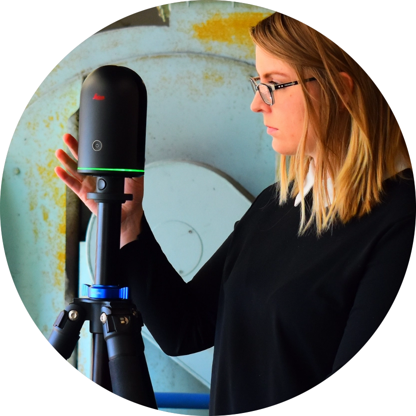
Terrestrial Laser Scanning (TLS) or High Definition Scanning (HDS) is the most accurate scanning method available today. It’s as close as we can get to 1-to-1 measurements with current technology.
An Ideal 3D Scan for Building Exteriors
Compared to Mobile Mapping, Terrestrial Laser Scanning is a more traditional type of laser scanning that takes more time, but with more time comes more accuracy at a greater distance. This makes it an ideal methodology for exteriors of buildings where you need to measure the height of the building, large open spaces like stadiums, or areas where you need precise measurements, such as lining up new equipment with existing structures.
How long does it take to scan facilities using terrestrial laser scanning?
Facility Size
Scan Time
Delivery Time*
up to 50,000 SF
12 hours
1 weeks
50,001 SF to 100,000 SF
20 hours
1.5 weeks
100,001 SF to 200,000 SF
30 hours
2 weeks
*Delivery time is based on optimal workload. Your scan times may vary depending on complexity of the project.