The fastest scanning method available today.It offers slightly less precision at speed but with the added benefit of taking photos at more frequent intervals than terrestrial laser scanning methods, adding more context to your scanned data.
An Ideal 3D Scan for Building Interiors
GreenLight 360 uses state-of-the-art scanning hardware and software to leverage the best technologies available for each unique site.
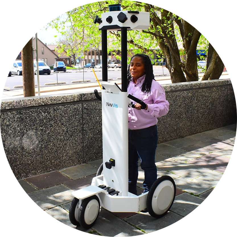
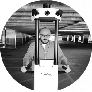
We understand the importance of accurate information in your as-built drawings. That’s why we recommend mobile mapping as an ideal scanning methodology for interior spaces like office buildings, schools, warehouses, and retail spaces.
Its precise measurement data paired with detailed photos render complicated pre-built components like duct work or elements like support columns clearly, accurately and with helpful context.
How long does it take to scan facilities using mobile mapping?
Facility Size
Scan Time
Delivery Time*
up to 50,000 SF
4 hours
1 week
50,001 SF to 100,000 SF
8 hours
1.5 weeks
100,001 SF to 200,000 SF
1.5 Days
2 weeks
*Delivery time is based on optimal workload. Your scan times may vary depending on complexity of the project.