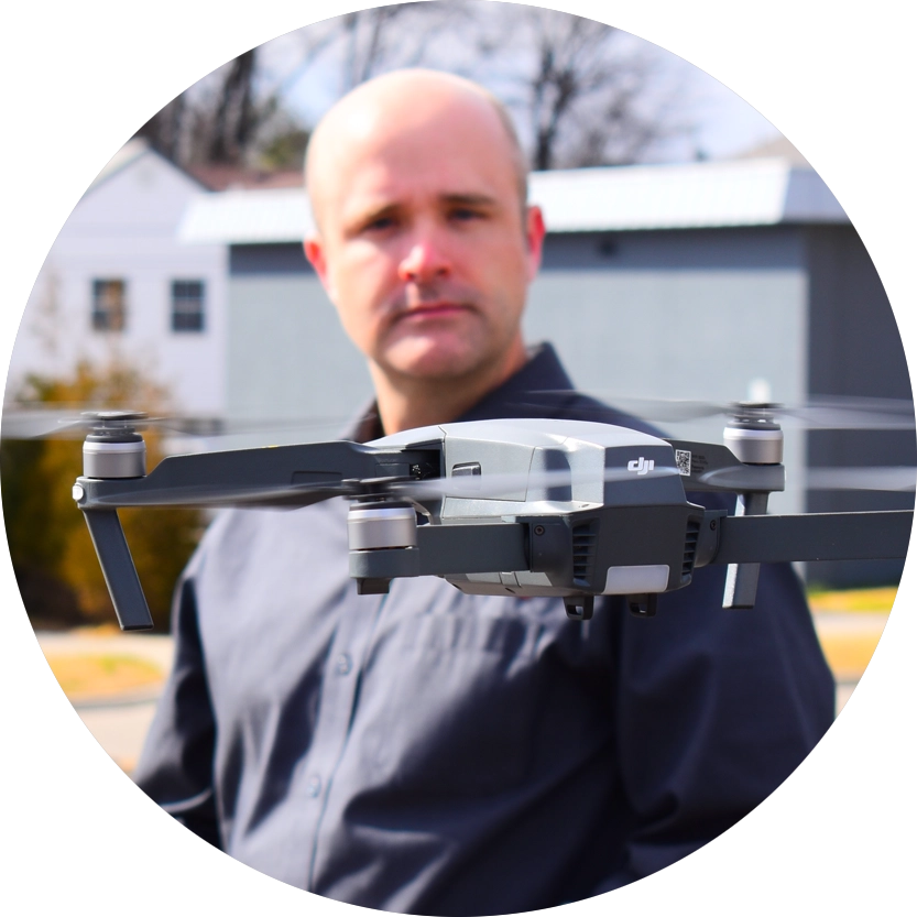
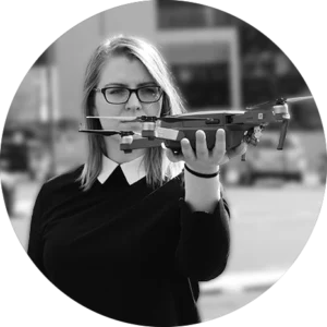
Drones are appearing in all kinds of applications and contexts—from spectacular sky sculptures to archeological discoveries. At GreenLight 360, drone photogrammetry plays a vital role in aerial reality capture.
An Ideal 3D Construction Scan
GreenLight 360 uses drones to fly over rooftops, construction sites, parking lots, or other open outdoor spaces, creating full 3D point clouds from the photographs. This can help you at various stages of development, from monitoring your construction progress to developing master site plans for a new development.
We can also utilize drones to safely scan the roof of your building to add more context to your whole-building reality capture.